Treaty of Fort Laramie (1851)
09/17/1851 AD treaty with
The United States acknowledged that all the land covered by the treaty was Indian territory and did not claim any part of it. The boundaries agreed to in the Fort Laramie Treaty of 1851 would be used to settle a number of claims cases in the 20th century.
The Native Americans guaranteed safe passage for settlers on the Oregon Trail and allowed roads and forts to be built in their territories, in return for promises of an annuity in the amount of fifty thousand dollars for fifty years.
The treaty should also "make an effective and lasting peace" among the eight tribes, each of them often at odds with a number of the others.
Lattitude: 42.2133° N
Longitude: 104.5172° W
Region: North America
Modern Day United States
Subjects Who or What treaty with?
Objects To Whom or What was treaty with?
-
Cheyenne One of the indigenous pe...
-
Sioux (Oceti Sakowin, Dakota, Lakota; ) Groups of Native America...
-
Arapaho (Hinono'eino) Tribe of Native American...
-
Crow (Apsáalooke, Absaroka) A native American Plains...
-
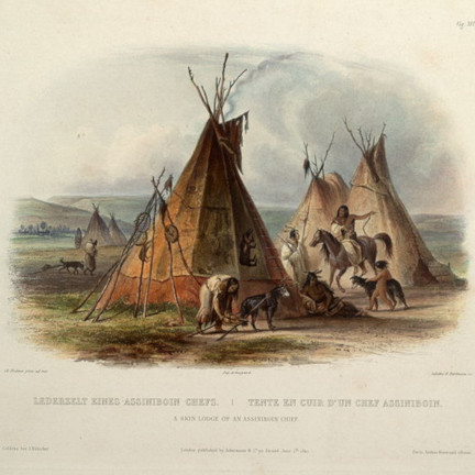
Assiniboine (Hohe, Nakota, Nakoda, Nakona) Native American people o...
-
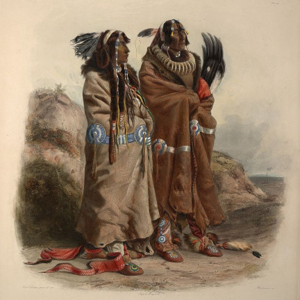
Mandan Native American tribe of...
-
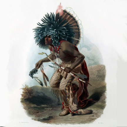
Hidatsa (Hiraacá) Native American indians ...
-
Arikara (Sahnish, Arikaree, Ree, Hundi) Native American tribe in...
Attachments
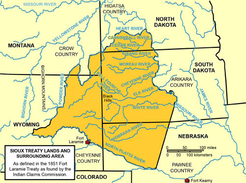
The Lands of the 1851 Ft. Laramie Treaty The treaty was broken almost immediately after its inception. In 1858, the failure to prevent the mass migration of miners and settlers into Colorado during the Pike's Peak Gold Rush, also did not help matters. They took over Indian lands in order to mine them, "against the protests of the Indians,"
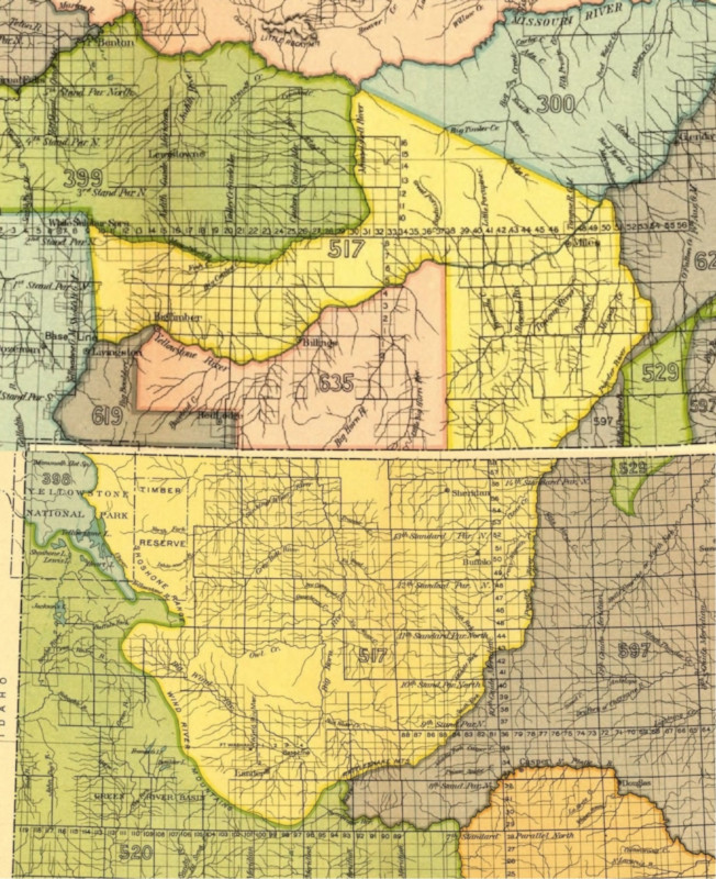
Crow Indian territory - Fort Laramie treaty (1851) Crow territory (area 517, 619 and 635) as described in the treaty in present Montana and Wyoming. It includes the western Powder River area and the Yellowstone area with tributaries as Tongue River, Rosebud River and Bighorn River.
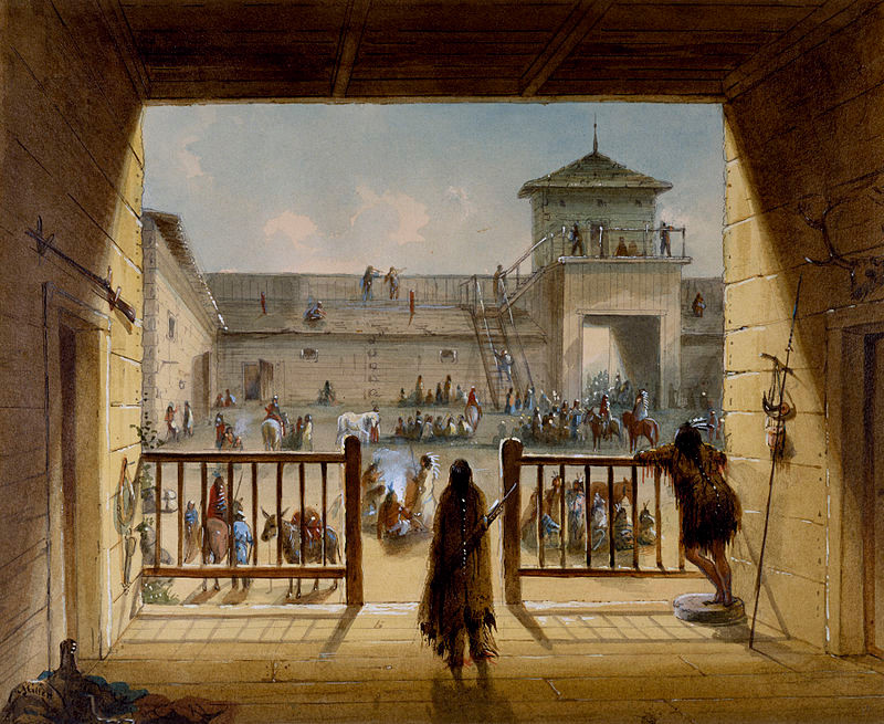
Fort Laramie
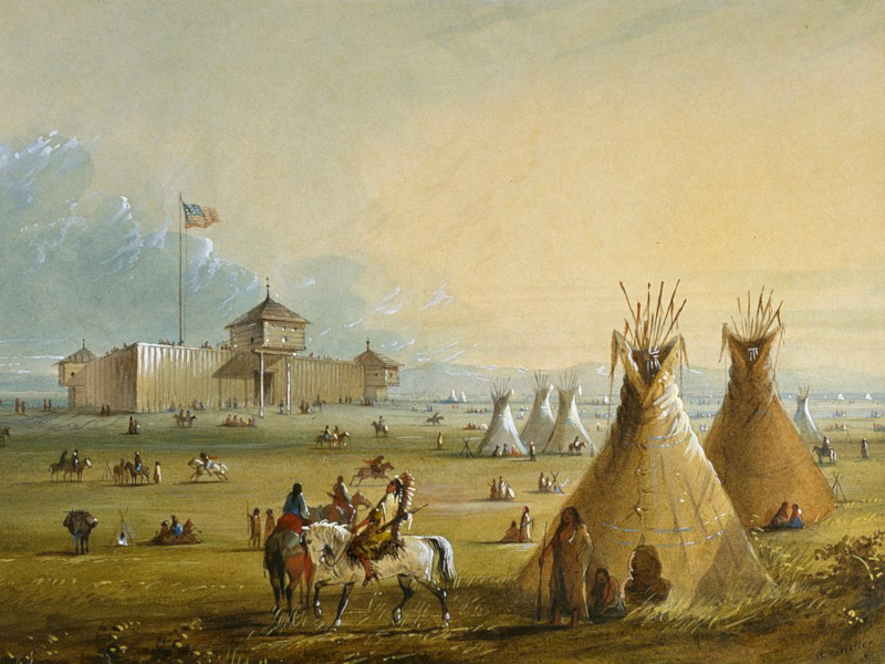
Interior of the original Fort Laramie as it looked prior to 1840. Painting from memory by Alfred Jacob Miller
In this scene Miller has provided the only visual record of the first Fort Laramie, erected in 1834. Located in eastern Wyoming, the fort marked the beginning of what would later become the Oregon Trail, the route that was taken by settlers moving west.
Events in 1851 MORE


