Mount St. Helens 1980 eruption
05/18/1980 AD erupted
VPI 5 the most disastrous volcanic eruption in U.S. history
Skamania County, WA
Lattitude: 46.03° N
Longitude: 121.91° W
Region: North America
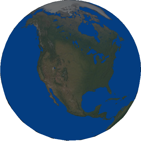
Modern Day United States
Lattitude: 46.03° N
Longitude: 121.91° W
Region: North America
Modern Day United States
Subjects Who or What erupted?
-
 Mount St. Helens (Lawetlat'la, Loowit, Louwala-Clough) A volcano in the Cascade...
Timelines (that include this event)

Attachments

Sequence of events on May 18 By Lyn Topinka - USGS Cascades Volcano Observatory
Mount St. Helens Day before the 1980 eruption, which removed much of the northern face of the mountain, leaving a large crater

Mount St. Helens Four months after the eruption, photographed from approximately the same location as the earlier picture
Events in 1980 MORE