Northwest Ordinance
07/13/1787 AD decreed
Formally, An Ordinance for the Government of the Territory of the United States, North-West of the River Ohio, and also known as The Ordinance of 1787, was an organic act of the Congress of the Confederation of the United States.
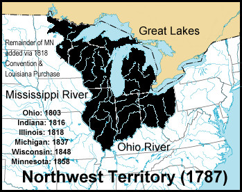
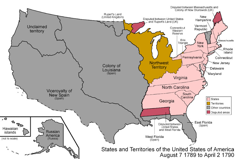
It created the Northwest Territory, the new nation's first organized incorporated territory, from lands beyond the Appalachian Mountains, between British North America and the Great Lakes to the north and the Ohio River to the south. The upper Mississippi River formed the territory's western boundary. Pennsylvania was the eastern boundary.
The ordinance prohibited slavery in regions between the Mississippi and Ohio rivers and the Great Lakes, except as punishment for crimes.
In the 1783 Treaty of Paris, which formally ended the American Revolutionary War, Great Britain yielded the region to the United States. However, the Confederation Congress faced numerous problems gaining control of the land such as the unsanctioned movement of American settlers into the Ohio Valley; violent confrontations with the region's indigenous peoples; the ongoing presence of the British Army, which continued to occupy forts in the region; and an empty U.S. treasury.
The ordinance superseded the Land Ordinance of 1784, which declared that states would one day be formed within the region, and the Land Ordinance of 1785, which described how the Confederation Congress would sell the land to private citizens. Designed to serve as a blueprint for the development and settlement of the region, the 1787 ordinance lacked a strong central government to implement it. That need was addressed shortly by the U.S. federal government formed in 1789. The First Congress reaffirmed the 1787 ordinance and, with slight modifications, renewed it by the Northwest Ordinance of 1789.
Considered one of the most important legislative acts of the Confederation Congress, it established the precedent by which the federal government would be sovereign and expand westward with the admission of new states, rather than with the expansion of existing states and their established sovereignty under the Articles of Confederation. It also set legislative precedent with regard to American public domain lands,
Lattitude: 40.7128° N
Longitude: 74.006° W
Region: North America
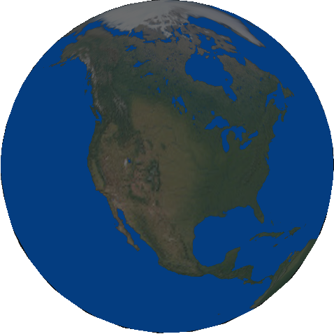
Modern Day United States
Subjects Who or What decreed?
Objects To Whom or What was decreed?
-
Ohio (OH) Nation
-
Indiana (IN) Nation
-
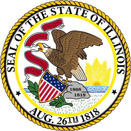
Illinois (IL) Nation
-
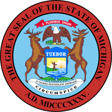
Michigan (MI) Nation
-
Wisconsin (WI) Nation
-
Minnesota (MN) Nation
Attachments
USA in 1789 Map of the states and territories of the United States as it was on August 7, 1789, when the Northwest Territory was organized
Events in 1787 MORE


